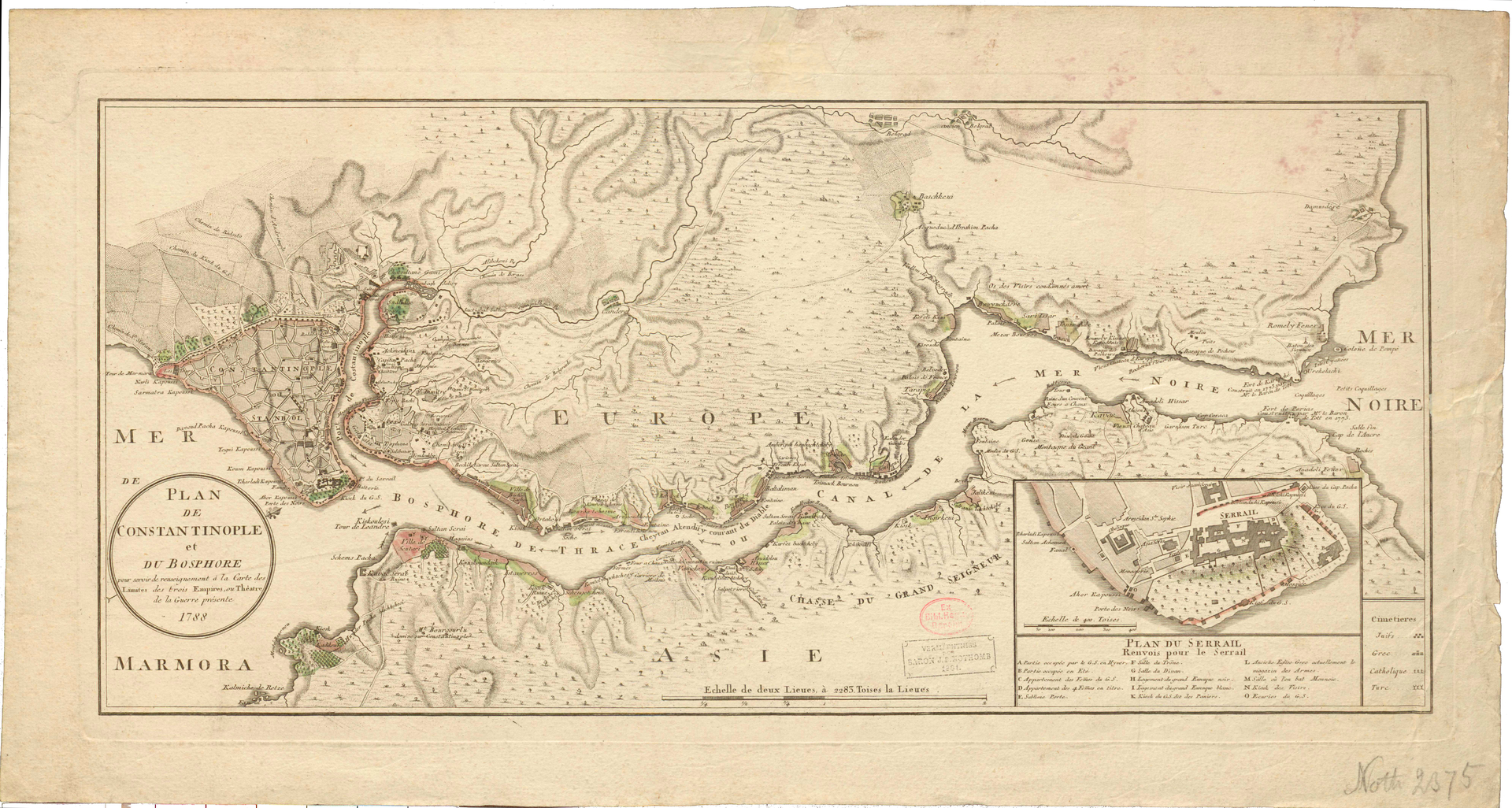
Plan De Constantinople et Du Bosphore
Weiterer Titel
Historical map Constantinople
Kurzbeschreibung
From the collection of Jean Baptist Nothomb, a Belgian envoy to the Prussian court, it was probably printed in Vienna in 1788, so would correspond to the time of Diez's stay in Istanbul. It shows the surroundings of Istanbul from the Marmara Sea over the Bosporus to the mouth of the Black Sea.
Institution
Link zum Objekt bei der datengebenden Institution
Zeit
between 1793 and 1802
Identifikator
Kart. Q 5525
Dateien

Quellenangabe
„Plan De Constantinople et Du Bosphore,” Spotlight on the Objects, zuletzt aufgerufen am 3. Dezember 2025, https://ausstellungen.deutsche-digitale-bibliothek.de/spotlight-objects-spk/items/show/80.
