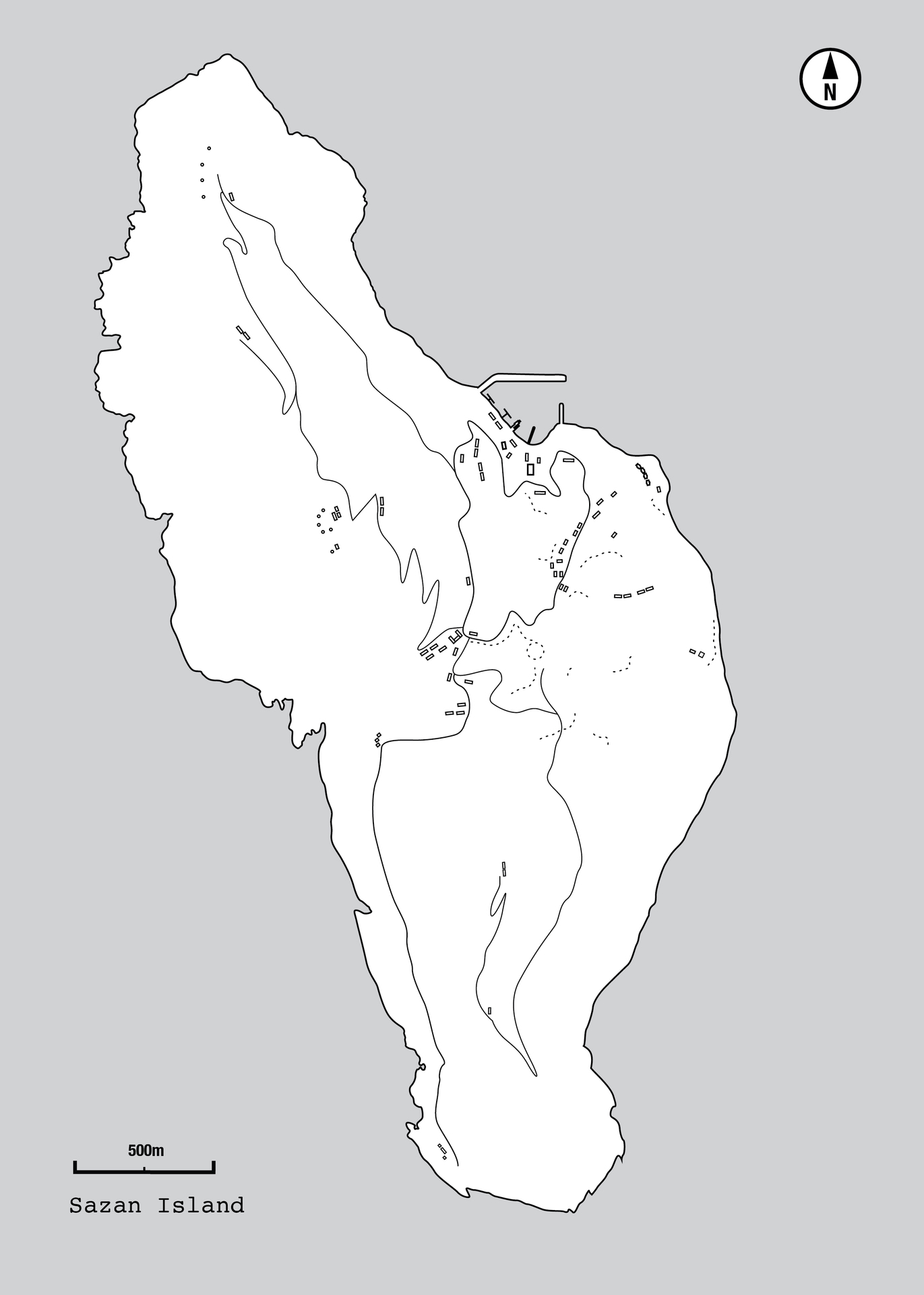
Island of Sazan
Beschreibung
Sazan (definite Albanian form: Sazani; Italian: Saseno; Latin: Saso; Ancient Greek: Σάσων) is an island inside the Mediterranean Sea in southern Albania. It is the largest island in Albania and strategically located between the Strait of Otranto and the entrance to the Bay of Vlorë, forming the border between the Adriatic and Ionian Sea. The island has a surface area of 5.7 qkm (2.2 sq mi) with a length of 4.8 km (3.0 mi), width of 2 km (1.2 mi) and a coastline of about 15 km (9.3 mi). In addition to being the largest island in Albania, it is a military zone and sometimes in clear weather it may be seen by eye from the coast of Salento, Italy in the west. The island was open to the public in July 2015. 2,721.87 hectares (6,725.9 acres) of the territory of the island's surrounding marine area became part of the Karaburun-Sazan Marine Park in 2010.
Sazan (bestimmte albanische Form: Sazani; Italienisch: Saseno; Latein: Saso; Altgriechisch: Σάσων) ist eine Insel im Mittelmeer in Südalbanien. Sie ist die größte Insel Albaniens und liegt strategisch günstig zwischen der Straße von Otranto und dem Eingang zur Bucht von Vlora, die die Grenze zwischen der Adria und dem Ionischen Meer bildet. Die Insel hat eine Oberfläche von 5,7 km², eine Länge von 4,8 km, eine Breite von 2 km und eine Küstenlinie von etwa 15 km. Sie ist nicht nur die größte Insel Albaniens, sondern auch eine Militärzone. Bei klarem Wetter kann sie von der Küste des italienischen Salento im Westen aus gesehen werden. Die Insel war im Juli 2015 für die Öffentlichkeit zugänglich. 2.721,87 Hektar des Gebiets des umliegenden Meeresgebiets der Insel wurden 2010 Teil des Karaburun-Sazan Marine Park.
Sazan (forma e caktuar shqipe: Sazani; italisht: Saseno; latinisht: Saso; greqishtja e lashtë: Σάσων) është një ishull brenda Detit Mesdhe në Shqipërinë e Jugut. Islandshtë ishulli më i madh në Shqipëri dhe i vendosur strategjikisht midis ngushticës së Otrantos dhe hyrjes në gjirin e Vlorës, duke formuar kufirin midis Adriatikut dhe Detit Jon. Ishulli ka një sipërfaqe prej 5.7 qkm (2.2 sq mi) me një gjatësi prej 4.8 km (3.0 mi), gjerësi prej 2 km (1.2 mi) dhe një vijë bregdetare prej rreth 15 km (9.3 mi). Përveç se është ishulli më i madh në Shqipëri, ai është një zonë ushtarake dhe ndonjëherë në një mot të pastër mund të shihet me sy nga bregu i Salento, Itali në perëndim. Ishulli ishte i hapur për publikun në korrik 2015. 2,721,87 hektarë (6,725,9 hektarë) të territorit të zonës detare përreth ishullit u bënë pjesë e Parkut Detar Karaburun-Sazan në 2010.
Kurzbeschreibung
It is the largest island in Albania and strategically located between the Strait of Otranto and the entrance to the Bay of Vlorë, forming the border between the Adriatic and Ionian Sea.
Es ist die größte Insel Albaniens und liegt strategisch günstig zwischen der Straße von Otranto und dem Eingang zur Bucht von Vlora, die die Grenze zwischen der Adria und dem Ionischen Meer bildet.
Ky është ishulli më i madh në Shqipëri dhe i vendosur strategjikisht midis ngushticës së Otrantos dhe hyrjes në gjirin e Vlorës, duke formuar kufirin midis Adriatikut dhe Detit Jon.
Institution
Alfred Diebold
Dateien

Quellenangabe
„Island of Sazan ,” Remains of Paranoia, zuletzt aufgerufen am 4. Juli 2025, https://ausstellungen.deutsche-digitale-bibliothek.de/remains-of-paranoia/items/show/11.
